Disaster Prevention and Mitigation Headquarters of the Ministry of Land, Infrastructure, Transport and Tourism (led by Minister of Land, Infrastructure, Transport and Tourism Tetsuo Saito) ) held a meeting in Tokyo on the 28th and decided to "comprehensive disaster prevention and mitigation". project" for fiscal year 2023. Increased support for large-scale earthquake response measures such as the impending Nankai Trough earthquake and the Tokyo inland earthquake. hardware and software We will further promote disaster prevention and mitigation measures that incorporate fully digital technology.

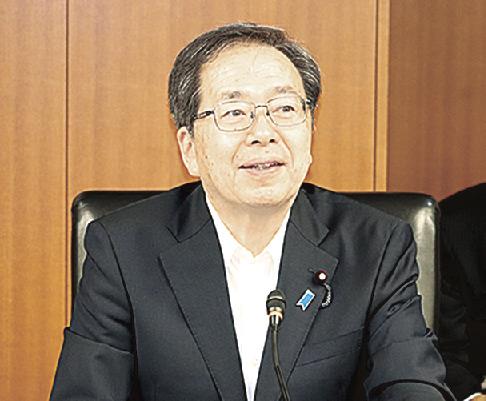
Tetsuo Saito, Minister of Foreign Affairs
At the meeting, the Minister of Land, Infrastructure, Transport and Tourism Saito mentioned the need for countermeasures for large-scale earthquakes. and mentioned that September will mark the 100th anniversary of the Great Kanto Earthquake. Regarding the budget requirements for fiscal year 2024 and the amendments to the tax system to be finalized by the summer, he directed: "Implement support measures ahead of time as much as possible. Strengthening and further strengthen disaster prevention and mitigation projects."
We will promote countermeasures for large-scale earthquakes that take into account the possibility of an earthquake directly hitting the Tokyo metropolitan area. Provide subsidies to local governments to promote fire protection of roadside buildings in congested urban areas and eliminate aging buildings. Encourage private businesses to develop facilities for stranded passengers. As a countermeasure to the lift restriction, the cost of installing damper and adding re-operating functionality will be subsidized.
On the software side, local authorities will be encouraged to develop a “pre-exploration community development plan”. At the end of fiscal year 2011, we will develop and publish a guide as a reference for planning.
Maximize the use of digital technology in disaster prevention and mitigation measures in general and work towards developing more advanced and effective measures. The plan envisions the introduction of drones that can patrol pipelines with remote control and automated interpretation technology that uses AI to analyze camera images and extract flooded areas. Local authorities will also be encouraged to use the "Highland" 3D city model, and they will be able to prioritize countermeasures starting at high disaster risk points based on topographic conditions. can be captured using 3D point cloud data.


